


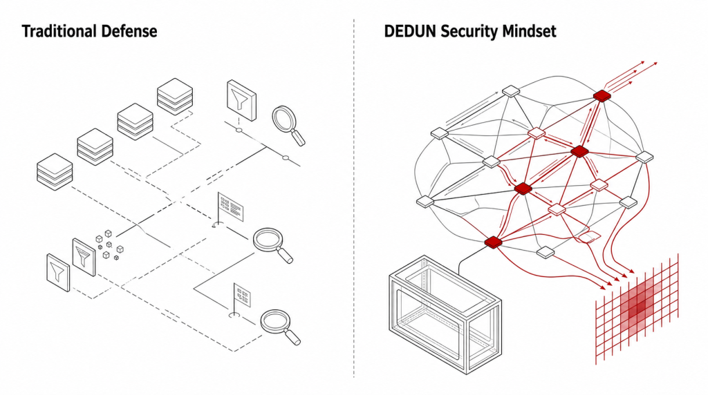


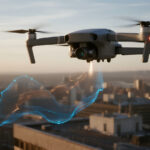
AI-Low-Altitude Economy
Integrating "UAVs, AI, and Digital Twins" at its core, we provide integrated low-altitude services that combine real-time perception, intelligent identification, and decision support—powering digital transformation for cities and industries.
Request a Demo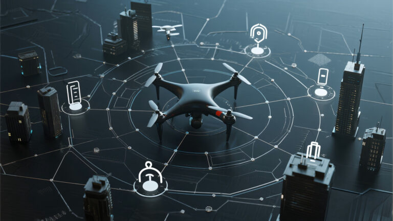


Solution Value
Core Modules
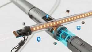
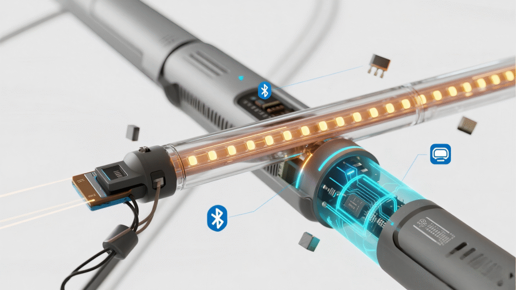
Unmanned Aviation Digital Operations Integrated Platform
3D Digital Twin Visualization Platform
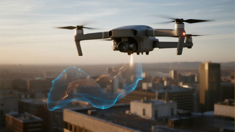
Multi‑Source Data AI‑Powered Recognition
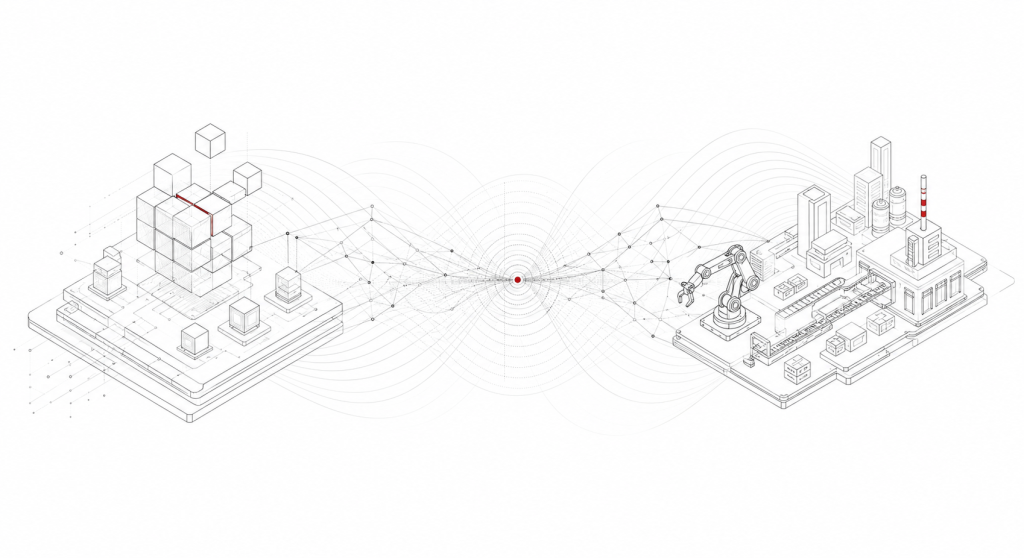
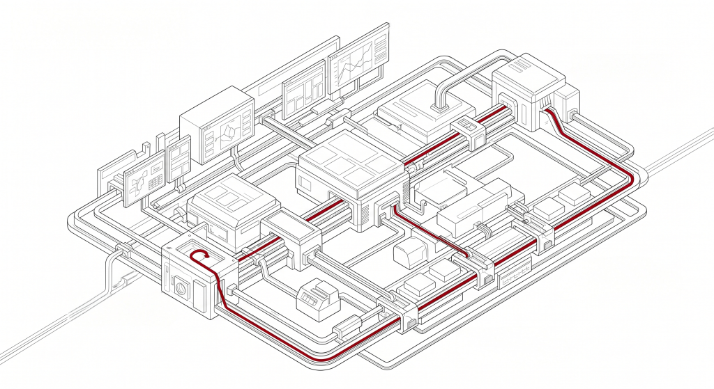
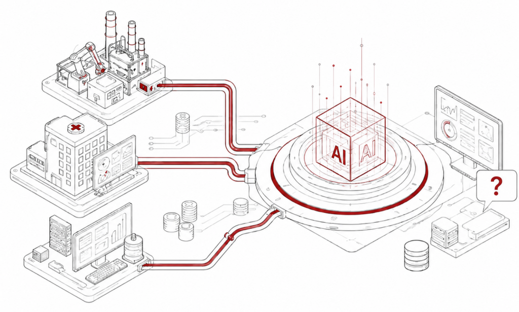
Overall Architecture

Front‑End Infrastructure Development
AI Capability Middle Platform
Flight Resource Management
Real‑Scene 3D Command & Dispatch Platform
Key Advantages

Integrated Services
AI‑Driven Empowerment
Digital Twin Foundation
Quantified Benefits
-
Efficiency Boost:
UAV inspections are several times more efficient than manual methods, with AI‑enabled problem identification and second‑level response. -
Refined Management:
Achieves pan‑area visibility, measurability, and controllability, enabling more comprehensive issue detection and more scientific management decisions. -
Cost Optimization:
The “Flying as a Service” (FaaS) model offers pay‑as‑you‑go pricing, avoiding the high costs of building an in‑house team and delivering exceptional cost‑effectiveness.
Application Scenarios
-
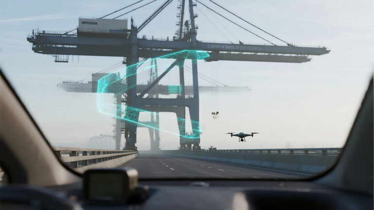
Public Safety & Emergency Command
During large‑event security and emergency response operations, the system enables real‑time command dispatch and builds a real‑scene 3D foundation for emergency platforms. UAVs conduct aerial patrols, with video data streamed live to the command center. AI algorithms identify and track key personnel, monitor traffic flow on major routes, and dynamically annotate the real‑scene 3D map—providing commanders with a “god’s‑eye view” for precise deployment and rapid response. -
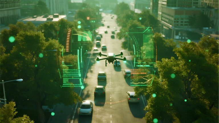
Smart City & Integrated Governance
For urban management departments, we offer UAV‑enabled government flight‑team services and an integrated unmanned aviation digital governance platform, applied in city/community comprehensive management. The system automatically patrols for illegal constructions, construction sites, road‑occupying vending, etc., uses AI to intelligently identify problem points and auto‑generates work orders, with results presented on data‑visualization dashboards—significantly boosting urban management efficiency. -
Ecological Conservation & Land‑Resource Management
In river‑course management, UAVs perform pollution patrols, with AI automatically identifying pollution sources and establishing cloud‑based pollution case files. In land‑use planning, LiDAR scanning captures high‑precision point‑cloud data for earthwork calculation supervision and full‑lifecycle management of key projects, providing accurate data support for engineering construction. -
Investment Promotion & Commercial Analysis
Using real‑scene 3D models to build a digital‑twin foundation, we enable visualized investment‑promotion information, commercial site‑selection analysis, and visibility analysis—offering investors an immersive inspection experience and scientific decision‑making support.